1891 · Topographic
USGS Topographic Map — Pottsville Quadrangle, 1891
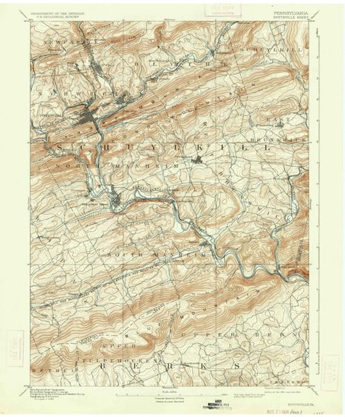
The 1891 edition of the USGS Pottsville quadrangle (15-min (1:62,500)). The county-seat quadrangle covering Pottsville, Saint Clair, and Minersville. The 1890s 15-minute editions capture the dense colliery-and-railroad landscape before modern development.
- Date
- 1891 15-min (1:62,500)
- Type
- Topographic
- Area
- Pottsville 15-minute quadrangle
- Towns
- Pottsville
- Source
- U.S. Geological Survey, Historical Topographic Map Collection (topoView)
- Rights
- Public domain — Public domain (USGS, pre-2009). Select this edition in topoView, or download via the prd-tnm S3 HTMC archive. Catalog: ScienceBase 4f554260e4b018de15819c88.
Citation
U.S. Geological Survey. Pottsville Quadrangle, Pennsylvania, 1891 ed. Historical Topographic Map Collection.