1892 · Topographic
USGS Historical Topographic Map — Pine Grove Quadrangle
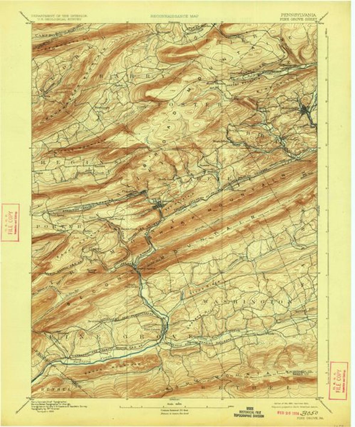
Covers the southwestern county around Pine Grove and the Swatara drainage, including the southern edge of the anthracite field. Confirmed editions: 1892, 1955. Free download in GeoPDF, GeoTIFF, JPEG, KMZ via topoView; stable bulk source is the USGS prd-tnm S3 archive (StagedProducts/Maps/HistoricalTopo). Each confirmed edition is also a separate record.
- Date
- editions 1892, 1955
- Type
- Topographic
- Area
- Pine Grove 15-minute quadrangle
- Towns
- Pine Grove
- Source
- U.S. Geological Survey, Historical Topographic Map Collection (topoView)
- Rights
- Public domain — All USGS historical topographic maps (pre-2009) are public domain. Suggested credit: 'Map services and data available from U.S. Geological Survey, National Geospatial Program.'
Citation
U.S. Geological Survey. Pine Grove Quadrangle, Pennsylvania. Historical Topographic Map Collection.