1969 · Geological
USGS Geology of the West-Central Southern Anthracite Field (PP 602)
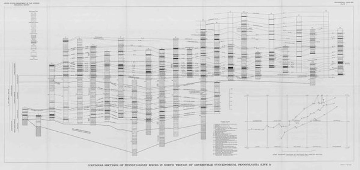
A USGS geological study (Wood, Trexler & Kehn) directly covering the Southern Anthracite field, which includes much of Schuylkill County. Includes detailed geologic plates showing coal beds, structure, and the anthracite measures. Public domain and safe to host or hot-link (report.pdf; plate-1 through plate-4.pdf).
- Date
- 1969
- Type
- Geological
- Area
- Southern Anthracite Field (Schuylkill)
- Towns
- County-wide
- Source
- U.S. Geological Survey, Professional Paper 602
- Rights
- Public domain — Federal USGS publication — public domain. Report PDF and four plates freely downloadable.
Citation
Wood, G. H., Trexler, J. P., and Kehn, T. M. Geology of the West-Central Part of the Southern Anthracite Field. USGS Professional Paper 602, 1969.