1884 · Geological
Panther Creek Basin Cross-Section (Second Geological Survey)
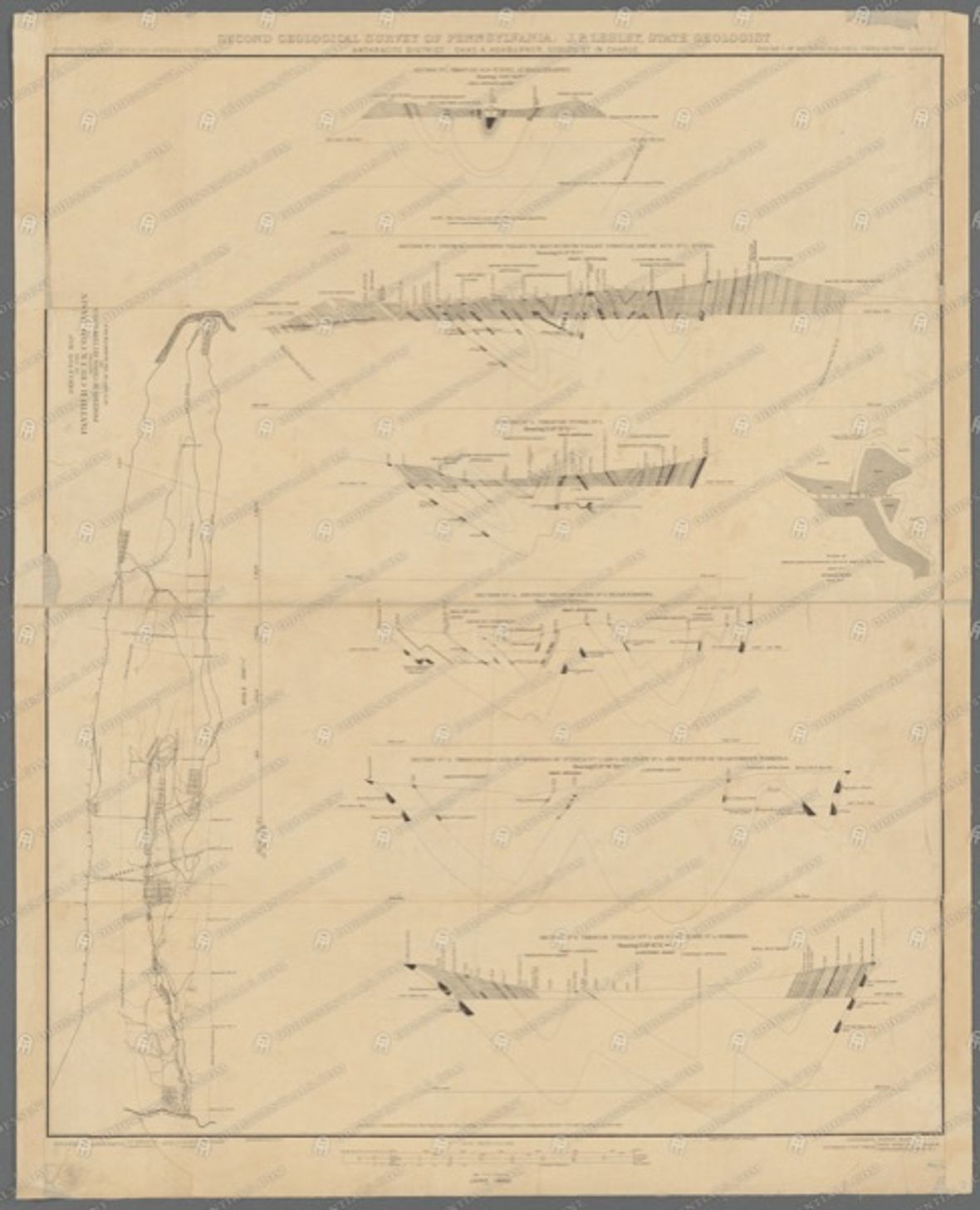
A geological cross-section of the Panther Creek Basin (Tamaqua-Coaldale area) from the Second Geological Survey's Southern Coal Field volume. Shows the steeply folded anthracite measures that made the Panther Valley collieries so productive and so dangerous.
- Date
- c. 1880s
- Type
- Geological
- Area
- Panther Creek Basin (Carbon & Schuylkill)
- Source
- New York Public Library Digital Collections
- Rights
- Public domain — Public domain by age. NYPL-hosted scan; review NYPL rights note before re-hosting.
Citation
Panther Creek Basin Cross-Section. Second Geological Survey of Pennsylvania, Southern Coal Field. New York Public Library Digital Collections.