1884 · Geological
General Map of the Anthracite Coal Fields of Pennsylvania (Ashburner, 1884)
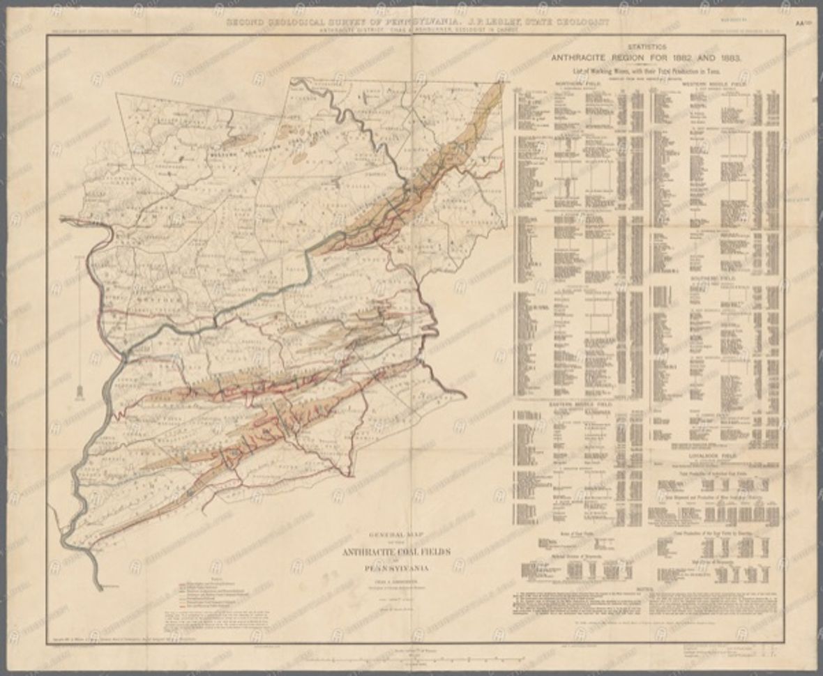
A classic map from the Second Geological Survey of Pennsylvania (Charles A. Ashburner) showing all of the state's anthracite coal fields, including the Southern Field of Schuylkill County. A foundational 1880s view of the coal geography that shaped the county's collieries and railroads.
- Date
- c. 1884
- Type
- Geological
- Area
- PA anthracite fields (incl. Schuylkill)
- Towns
- County-wide
- Source
- New York Public Library Digital Collections (Second Geological Survey of PA)
- Rights
- Public domain — Public domain by age (1880s). NYPL hosts the scan; review NYPL's own rights note before re-hosting (the underlying work is PD).
Citation
Ashburner, Charles A. General Map of the Anthracite Coal Fields of Pennsylvania. Second Geological Survey of Pennsylvania, c. 1884. New York Public Library Digital Collections.