1855 · County map
A Map of Schuylkill County, Penna. (Sheafer / Barnes)
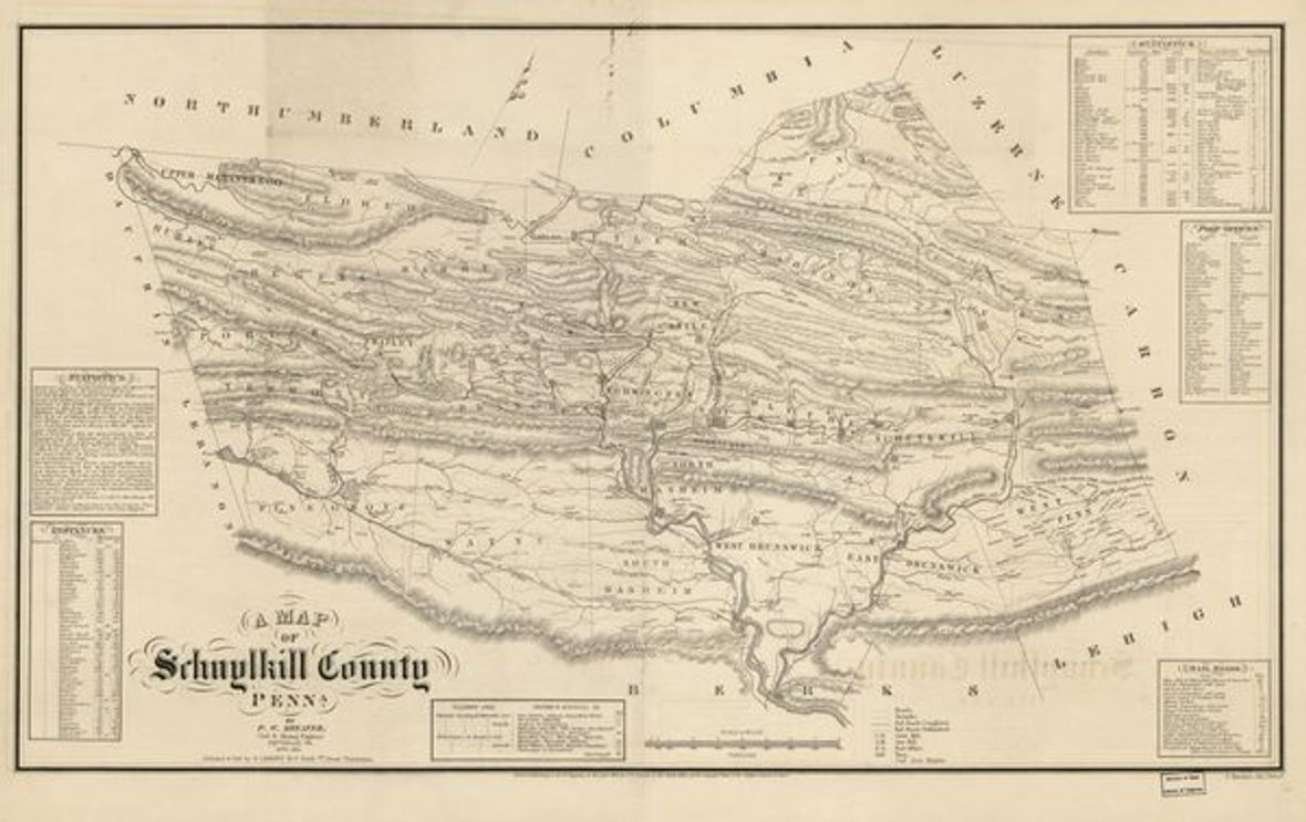
A detailed mid-century county map compiled by P. W. Sheafer (the noted anthracite-region geologist and surveyor) and published by R. L. Barnes. Predates the railroad-map era and captures the county at the start of its industrial expansion.
- Date
- 1855
- Type
- County map
- Area
- County-wide
- Towns
- County-wide
- Source
- Library of Congress, Geography and Map Division
- Rights
- Public domain — LOC: content of the Geography and Map Division digitized collections is free to use and reuse unless a Rights Advisory statement indicates otherwise. IIIF manifest available.
Citation
Sheafer, P. W. A Map of Schuylkill County, Penna. Philadelphia: R. L. Barnes, 1855. Library of Congress, Geography and Map Division.